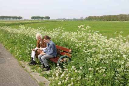
De Tike Roaming Route
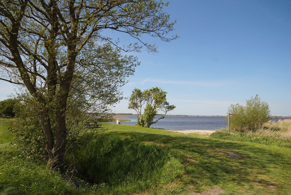
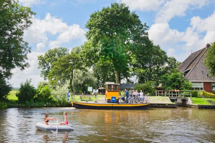
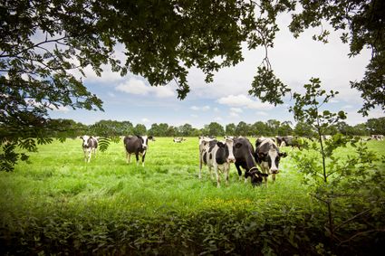
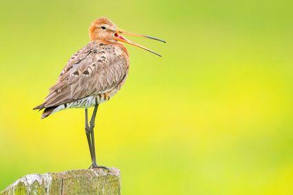
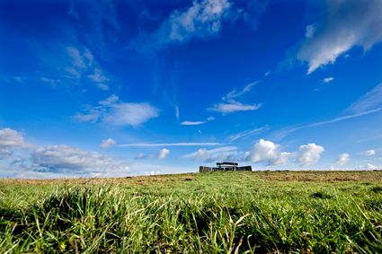
This walk sets off from the village of De Tike, which developed as a linear settlement. Most of the route leads through the green countryside of the Noardlike Fryske Wâlden National Landscape conservation area. This conservation area is famous for its traditional hedgerow and woodland landscape with meadows enclosed by wooded banks. As you approach De Leijen lake, the landscape opens out. Between Junctions 55 and 28 you pass a bird-watching hide. With a bit of luck, you may spot some beautiful birds here.
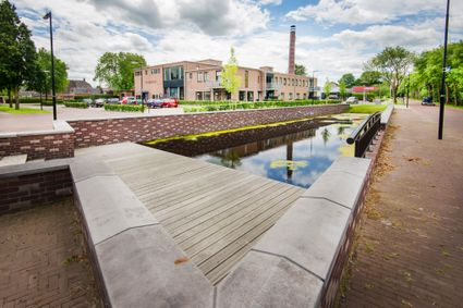
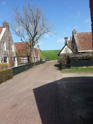
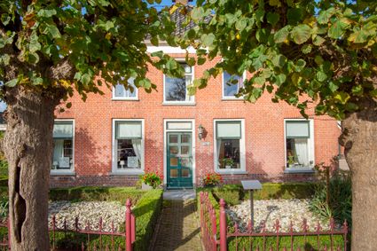
The little village of De Tike originally developed on sand ridge topped with heathland. Today it is a vibrant place. There is a saying, ‘De Tike has neither church nor pub, but there is pleasure enough to be had here.’ This suits most of the locals perfectly.
Sights on this route
Starting point:
Waypoint walk 29
De Tike
Navigate to starting point
Waypoint walk 29
De Tike
Navigate to starting point
End point:
Waypoint walk 29
De Tike
Navigate to endpoint
- 29
- 29
- 23
- 26
- 17
- 12
- 48
- 41
- 32
- 20
- 11
- 51
- 55
- 28
- 29
- 29
