Anjum - Ezumazijl - Weerd Convent | Circular Walk 3 of the Bonifatius Kloosterpad Monastery Route
The history of the old tidal landscape south of the little village of Anjum is written on the land. Farmers and monks built dams to prevent the fertile soil from being carried off and deposited in the delta at high tide. The old farmland has since been reclaimed by nature.
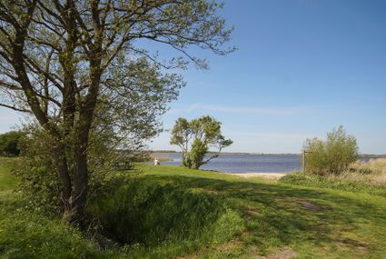
Near the village of Oostmahorn you look out over Lauwersmeer National Park, a nature reserve with 5000 hectares of reed beds, marshland, swamp forest and rough grassland.
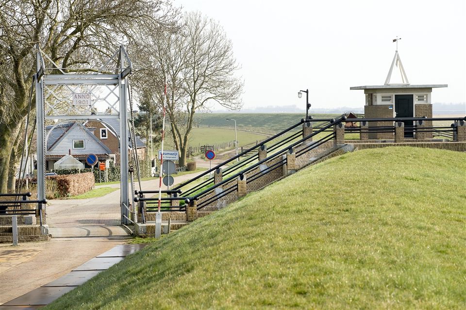
You walk south to the lock at Ezumazijl. There has been a lock here since the Middle Ages. It was built to regulate the water level in the surrounding polders.
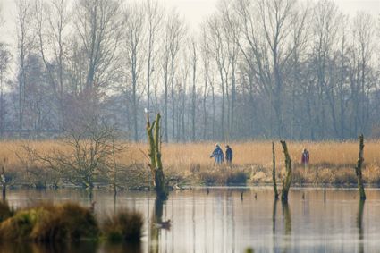
Ezumakeeg nature reserve nearby is popular among birdwatchers. In this transitional zone between water and land there are always many birds.
Heading inland …
The history of the old tidal landscape south of the little village of Anjum is written on the land. Farmers and monks built dams to prevent the fertile soil from being carried off and deposited in the delta at high tide. The old farmland has since been reclaimed by nature.
Near the village of Oostmahorn you look out over Lauwersmeer National Park, a nature reserve with 5000 hectares of reed beds, marshland, swamp forest and rough grassland.
You walk south to the lock at Ezumazijl. There has been a lock here since the Middle Ages. It was built to regulate the water level in the surrounding polders.
Ezumakeeg nature reserve nearby is popular among birdwatchers. In this transitional zone between water and land there are always many birds.
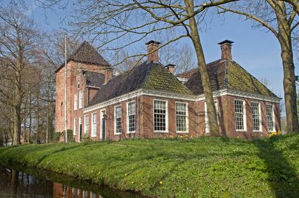
Heading inland again, you follow the winding Nijlânswei to a bend of the Zuider Ee canal. From here you can see a small hill with a farm and a few scattered houses on it. This was where Weerd Convent once stood. This Norbertine convent was a daughter house of the Bonifatiusklooster monastery in Dokkum.
During the religious wars between the Protestants and the Catholics in the 16th century, the convent was plundered and burned to the ground. This raised area in the landscape is now all that remains of Weerd Convent.
Sights on this route
Starting point
Mûntsebuorren
Anjum
Navigate to starting point
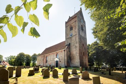
Michaëlkerk Anjum
Op het hoogste punt van het dorpje Anjum staat deze eenbeukige kerk, gewijd aan Sint-Michaël. Al bijna duizend jaar fungeert deze kerk als middelpunt in het gemeenschapsleven.
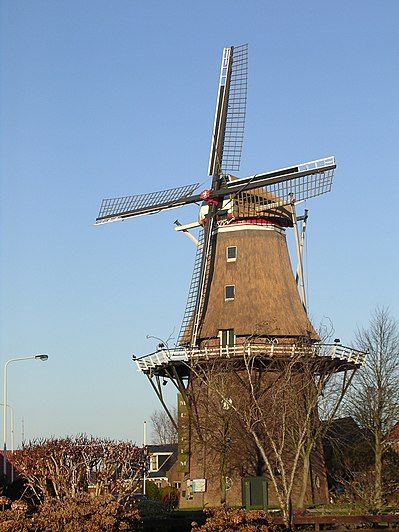
Molenmuseum De Eendragt
Molenmuseum 'De Eendracht' is gevestigd in een koren- pelmolen en herbergt zes zolders kijkgenot. Op de begane grond bevindt zich een winkeltje en een gerestaureerde Kromhout middeldruk moter 40 pk. uit 1920. U vindt een wisselende expositie op de ee...
Lauwersmeer - Ezumakeeg-Noord - Kijkheuvel
Veel steltlopers en eenden. Interessante plek.

Voormalig klooster Weerd
Ongeveer 1500 meter ten zuiden van het dorpje Morra ligt het terrein, waarop een klooster van vrouwen van de Praemonstratenser orde gestaan heeft. In 1569 plunderden de Watergeuzen dit klooster en staken het in brand.
Directions
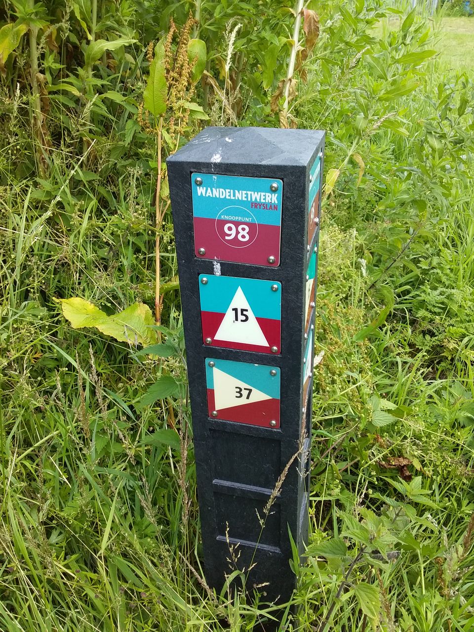
Op de Mûntsebuorren bij molen De Eendracht van knooppunt 38 rechtsaf Terpsterwei naar knoopunt 44 - 98 - 37 - 52 - 62 - 85 - 97 - 88 -77 - 49 - 63 - 68 - 38
Voorbij klooster Weerd eind Kleasterwei rechtsaf Keechsdyk, na Welgegelegen rechtsaf Headamsterwei, linksaf Lange Moersdijk, rechtsaf Bartenswei terug naar Anjum.
- 38
- 44
- 98
- 37
- 52
- 62
- 85
- 97
- 88
- 77
- 49
- 63
- 68
- 38
